Saturday, March 6, 2010
Icelanders Reject Icesave Bill in Referendum, Results ShowMarch 06, 2010, 7:02 PM EST
March 7 (Bloomberg) -- Icelanders rejected by a massive majority a bill that would saddle each citizen with $16,400 of debt in protest at U.K. and Dutch demands that they cover losses triggered by the failure of a private bank...
Two New Madrid, MO earthquakes for Friday, March 5, 2010*
OUR PLANET'S PROTECTIVE MAGNETOSPHERE UPDATE |
About Real-Time Magnetosphere Simulation
http://www2.nict.go.jp/y/y223/simulation/realtime/index.htmlMarch 6, 2010 at 5:46 PM Central Time
|
| MOON UPDATE |
Current Moon Phase
http://www.die.net/moon/
Recommended:
What the Hell is Going on Up There?
|

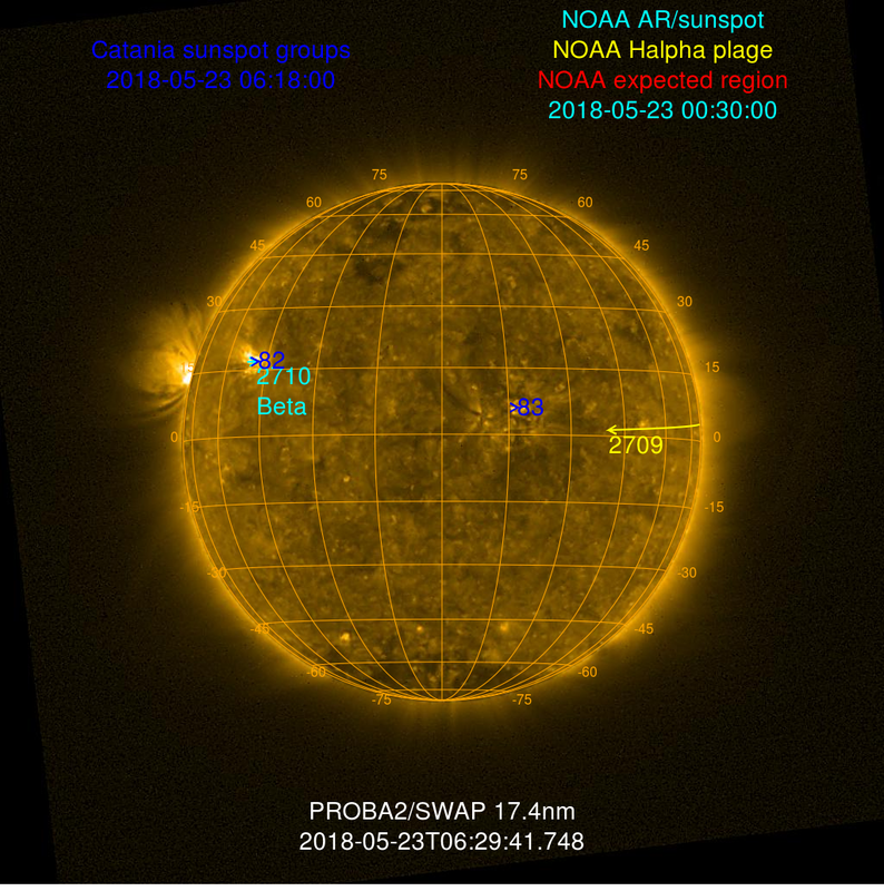
SUN UPDATE |
http://sohowww.nascom.nasa.gov/sunspots/
http://solarcycle24.com/
Classification of Solar Flares
Magnetic fields trigger solar wind
NASA Images Earth-Sized Objects Inside Corona Of SUN
|
| EARTHQUAKE UPDATES |
Latest Earthquakes Magnitude 2.5 or Greater in the United States and Adjacent Areas and Magnitude 4.5 or Greater in the Rest of the World Update time = Sun Mar 7 0:17:01 UTC 2010
| MAG | UTC DATE-TIME
y/m/d h:m:s | LAT
deg | LON
deg | DEPTH
km | Region |
|---|
| MAP | 2.5 | 2010/03/06 23:56:35 | 36.212 | -120.230 | 8.7 | CENTRAL CALIFORNIA | | MAP | 2.6 | 2010/03/06 23:29:26 | 59.574 | -153.851 | 196.8 | SOUTHERN ALASKA | | MAP | 3.2 | 2010/03/06 22:54:18 | 58.560 | -155.155 | 250.0 | ALASKA PENINSULA | | MAP | 4.9 | 2010/03/06 21:08:20 | -37.555 | -73.716 | 35.0 | OFFSHORE BIO-BIO, CHILE | | MAP | 4.7 | 2010/03/06 20:47:30 | -5.567 | 123.302 | 35.1 | BANDA SEA | | MAP | 4.9 | 2010/03/06 19:09:28 | 14.786 | 144.367 | 10.0 | ROTA REGION, NORTHERN MARIANA ISLANDS | | MAP | 4.9 | 2010/03/06 18:42:58 | -34.543 | -72.398 | 39.0 | OFFSHORE LIBERTADOR O'HIGGINS, CHILE | | MAP | 5.0 | 2010/03/06 17:53:48 | 14.689 | 144.262 | 10.0 | ROTA REGION, NORTHERN MARIANA ISLANDS | | MAP | 5.0 | 2010/03/06 17:23:13 | 14.639 | 144.220 | 10.0 | ROTA REGION, NORTHERN MARIANA ISLANDS | | MAP | 3.0 | 2010/03/06 16:57:35 | 58.176 | -155.336 | 3.6 | ALASKA PENINSULA | | MAP | 2.6 | 2010/03/06 15:09:26 | 45.970 | -75.369 | 9.7 | ONTARIO-QUEBEC BORDER REGION, CANADA | | MAP | 4.6 | 2010/03/06 14:45:44 | -23.481 | -66.169 | 176.4 | SALTA, ARGENTINA | | MAP | 5.5 | 2010/03/06 13:31:14 | 44.204 | 147.625 | 49.0 | KURIL ISLANDS | | MAP | 2.6 | 2010/03/06 13:18:02 | 46.958 | -70.734 | 0.8 | SOUTHERN QUEBEC, CANADA | | MAP | 5.4 | 2010/03/06 12:10:57 | -13.125 | 166.580 | 92.7 | VANUATU | | MAP | 4.7 | 2010/03/06 11:23:36 | -36.375 | -73.069 | 35.0 | OFFSHORE BIO-BIO, CHILE | | MAP | 4.7 | 2010/03/06 09:49:37 | -34.199 | -71.517 | 35.0 | LIBERTADOR O'HIGGINS, CHILE | | MAP | 3.2 | 2010/03/06 09:39:18 | 19.212 | -155.035 | 49.9 | ISLAND OF HAWAII, HAWAII | | MAP | 2.5 | 2010/03/06 09:38:42 | 63.260 | -150.509 | 138.3 | CENTRAL ALASKA | | MAP | 4.7 | 2010/03/06 09:26:37 | -35.601 | -72.854 | 35.0 | OFFSHORE MAULE, CHILE | | MAP | 4.5 | 2010/03/06 08:46:24 | 40.327 | -124.705 | 12.5 | OFFSHORE NORTHERN CALIFORNIA | | MAP | 2.8 | 2010/03/06 06:04:15 | 63.304 | -144.909 | 0.6 | CENTRAL ALASKA | | MAP | 4.6 | 2010/03/06 04:49:34 | 9.952 | -84.027 | 3.1 | COSTA RICA | | MAP | 4.7 | 2010/03/06 03:58:47 | -6.067 | -109.870 | 10.0 | CENTRAL EAST PACIFIC RISE | | MAP | 5.0 | 2010/03/06 03:09:31 | -34.639 | -72.102 | 35.0 | OFFSHORE LIBERTADOR O'HIGGINS, CHILE | | MAP | 4.7 | 2010/03/06 03:00:48 | 39.899 | 118.524 | 10.0 | HEBEI, CHINA | | MAP | 4.7 | 2010/03/06 02:40:10 | 46.782 | 152.738 | 87.7 | KURIL ISLANDS | | MAP | 4.7 | 2010/03/06 02:37:46 | 0.048 | 123.427 | 146.4 | MINAHASA, SULAWESI, INDONESIA | | MAP | 5.1 | 2010/03/06 01:23:23 | -36.694 | -73.255 | 35.0 | OFFSHORE BIO-BIO, CHILE | | MAP | 4.8 | 2010/03/06 00:52:47 | -33.169 | -71.331 | 35.1 | VALPARAISO, CHILE | | MAP | 5.0 | 2010/03/06 00:33:02 | 48.888 | 91.513 | 15.0 | WESTERN MONGOLIA | | MAP | 2.5 | 2010/03/06 00:17:27 | 61.342 | -150.786 | 71.3 | SOUTHERN ALASKA |
|
CHANGING WEATHER PATTERNS - NEWS
|
National Severe Weather Map
Surface Temperature Forecast Map
www.511nebraska.org
http://weather.unisys.com/satellite/sat_ir_enh_us_loop.html
National Association of Radio-Distress Signalling and Infocommunications
Emergency and Disaster Information Services (EDIS)
Budapest Hungary
| | 1 | 03/03/2010 | Flood | Mozambique | Province of Sofala | Unknown | Read | | 8 | 02/03/2010 | Landslide | Uganda | Unknown | Unknown | Read | | 2 | 02/03/2010 | Flood | Australia | State of Queensland | Unknown | Read | | 2 | 28/02/2010 | Epidemic Hazard | Philippines | Province of Cagayan | San Pedro | Read |
| |
| 03/06/2010 | Epidemic | Burkina Faso | Unknown | Sahel Region | Read | | 1 | 03/06/2010 | Vehicle Accident | Philippines | Province of La Union | Pugo | Read |
| 03/06/2010 | Vehicle Accident | (Non-Localized) | International waters | About 150 kilometers off Island of Jeju | Read |
| 03/06/2010 | Biological Hazard | Myanmar | Sagaing Division | Yinmapin township | Read | | 1 | 03/06/2010 | Hailstorm | Australia | State of Victoria | Melbourne | Read |
| 03/06/2010 | Volcano Activity | Iceland | Unknown | Eyjafjoll Volcano | Read | | 1 | 03/06/2010 | Terror Attack | Madagascar | Unknown | UBT Ocean Chemical Tanker | Read |
| 03/06/2010 | Epidemic Hazard | Panama | MultiProvinces | Provinces of Herrera, Cocle and Panama Oeste | Read |
| 03/06/2010 | Epidemic Hazard | Canada | Province of Canada | Calgary | Read |
| 03/06/2010 | Epidemic Hazard | Philippines | Province of Iloilo | San Joaquin | Read | | 3 | 03/05/2010 | Vehicle Accident | USA | State of Arizona | Phoenix | Read | | 2 | 03/05/2010 | Flash Flood | Kenya | Province of Rift Valley | Samburu National Park | Read |
|
|

NEBRASKA NEWS
|
Lincoln Nebraska Live Traffic Cams
COLUMBUS -- Impending rain and melting snow have raised yearly fears of flooding in much of eastern Nebraska.
Engineers: Ice dusting doing its job on Platte
A plane dumps coal ash on the Platte River north of U.S. 6 on Thursday morning.
(Robert Becker / Lincoln Journal Star)
PLATTSMOUTH -- Engineers say ice dusting along the Platte River in eastern Nebraska appears to be working, although there's still some concerns about ice jams. Last month, pilots hired by the Nebraska Emergency Management Agency spread 77 tons of coal ash over nine sites along the Platte. On Friday, engineers conducted an aerial inspection of the river. Marlin Petermann of the Papio natural resources district says the coal ash appears to be doing its job. But, he says, the ice remains intact north of the confluence of the Platte and Elkhorn rivers. The coal ash is intended to thaw ice slowly to prevent flooding caused by ice jams. Without the dusting, a rapid thaw could occur, causing large chunks of ice to form dams that force water onto land, causing flooding.
|
TALK AT YOU ALL LATER!!
My News blog with MANY news links: The Cave